
File:Sweden location map.svg

Size of this PNG preview of this SVG file: 311 × 599 pixels. Other resolutions: 124 × 240 pixels | 249 × 480 pixels | 399 × 768 pixels | 532 × 1,024 pixels | 1,064 × 2,048 pixels | 954 × 1,836 pixels.
Original file (SVG file, nominally 954 × 1,836 pixels, file size: 2.03 MB)
Summary
| Description |
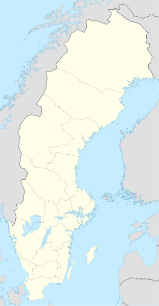
Deutsch: Positionskarte von Schweden
Quadratische Plattkarte, N-S-Streckung 214,7895 %. Geographische Begrenzung der Karte:
English: Location map of Sweden
Equirectangular projection, N/S stretching 214,7895 %. Geographic limits of the map:
|
||
| Date | |||
| Source | own work, using United States National Imagery and Mapping Agency data | ||
| Author | NordNordWest | ||
| Other versions |
Derivative works of this file:
|
||
| SVG genesis |
|


Licensing
I, the copyright holder of this work, hereby publish it under the following licenses:

|
Permission is granted to copy, distribute and/or modify this document under the terms of the GNU Free Documentation License, Version 1.2 or any later version published by the Free Software Foundation; with no Invariant Sections, no Front-Cover Texts, and no Back-Cover Texts. A copy of the license is included in the section entitled GNU Free Documentation License. |
This file is licensed under the Creative Commons Attribution-Share Alike 3.0 Unported license.
- You are free:
- to share – to copy, distribute and transmit the work
- to remix – to adapt the work
- Under the following conditions:
- attribution – You must give appropriate credit, provide a link to the license, and indicate if changes were made. You may do so in any reasonable manner, but not in any way that suggests the licensor endorses you or your use.
- share alike – If you remix, transform, or build upon the material, you must distribute your contributions under the same or compatible license as the original.
You may select the license of your choice.
File history
Click on a date/time to view the file as it appeared at that time.
| Date/Time | Thumbnail | Dimensions | User | Comment | |
|---|---|---|---|---|---|
| current | 23:26, 20 Maach 2023 | | 954 × 1,836 (2.03 MB) | HCa | Reverted to version as of 18:28, 15 July 2008 (UTC) |
| 06:45, 1 November 2015 |  | 842 × 1,837 (1.01 MB) | Larske | Correction of border between Västra Götalands län and Jönköpings län. Habo municipality and Mullsjö municipality belong to Jönköpings län. | |
| 17:11, 4 August 2011 |  | 842 × 1,837 (981 KB) | NordNordWest | upd | |
| 09:24, 27 Jaenyuweri 2009 |  | 954 × 1,837 (2.74 MB) | Erik Frohne | Added missing border Scania-Blekinge Category:Location maps of Sweden | |
| 08:22, 29 August 2008 |  | 954 × 1,837 (2.74 MB) | NordNordWest | ||
| 08:18, 29 August 2008 |  | 954 × 1,837 (1.46 MB) | NordNordWest | ||
| 11:32, 30 Juulai 2008 |  | 954 × 1,836 (1.46 MB) | NordNordWest | optimized | |
| 18:28, 15 Juulai 2008 |  | 954 × 1,836 (2.03 MB) | NordNordWest | {{Information |Description= {{de|Positionskarte von Schweden}} Quadratische Plattkarte, N-S-Streckung 190 %. Geographische Begrenzung der Karte: * N: 69.5° N * S: 55.1° N * W: 10.4° O * O: 24.6° O {{en|Location map of [[:en:Sweden|Swe |
File usage
The following 2 pages use this file:
Global file usage
The following other wikis use this file:
- Usage on af.wikipedia.org
- Usage on als.wikipedia.org
- Usage on am.wikipedia.org
- Usage on an.wikipedia.org
- Usage on ar.wikipedia.org
- Usage on arz.wikipedia.org
- Usage on ast.wikipedia.org
View more global usage of this file.