
File:Flag-map of Hawaii.svg

Size of this PNG preview of this SVG file: 800 × 523 pixels. Other resolutions: 320 × 209 pixels | 640 × 419 pixels | 1,024 × 670 pixels | 1,280 × 837 pixels | 2,560 × 1,675 pixels | 1,041 × 681 pixels.
Original file (SVG file, nominally 1,041 × 681 pixels, file size: 46 KB)
This W3C-unspecified vector image was created with Inkscape .
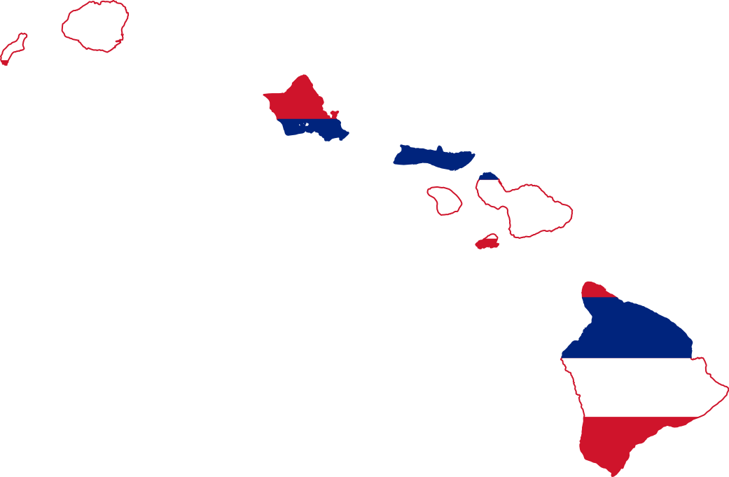
| Description | Flag-map of Hawaii |
| Source | self-made using Image:Flag of Hawaii.svg and Image:USA Hawaii location map.svg |
| Author | Darwinek |
I, the copyright holder of this work, hereby publish it under the following licenses:
This file is licensed under the Creative Commons Attribution-Share Alike 3.0 Unported license.
- You are free:
- to share – to copy, distribute and transmit the work
- to remix – to adapt the work
- Under the following conditions:
- attribution – You must give appropriate credit, provide a link to the license, and indicate if changes were made. You may do so in any reasonable manner, but not in any way that suggests the licensor endorses you or your use.
- share alike – If you remix, transform, or build upon the material, you must distribute your contributions under the same or compatible license as the original.

|
Permission is granted to copy, distribute and/or modify this document under the terms of the GNU Free Documentation License, Version 1.2 or any later version published by the Free Software Foundation; with no Invariant Sections, no Front-Cover Texts, and no Back-Cover Texts. A copy of the license is included in the section entitled GNU Free Documentation License. |
You may select the license of your choice.
File history
Click on a date/time to view the file as it appeared at that time.
| Date/Time | Thumbnail | Dimensions | User | Comment | |
|---|---|---|---|---|---|
| current | 06:32, 6 December 2023 | | 1,041 × 681 (46 KB) | WessyTheBoy54 | Reverted to version as of 01:05, 25 December 2022 (UTC) |
| 12:20, 8 Mieh 2023 |  | 887 × 576 (29 KB) | Jsagiosagi141 | Reverted to version as of 05:15, 29 June 2022 (UTC) | |
| 01:05, 25 December 2022 |  | 1,041 × 681 (46 KB) | 書燒 | Reverted to version as of 21:58, 6 January 2021 (UTC) | |
| 05:15, 29 Juun 2022 |  | 887 × 576 (29 KB) | John emil hernandez | remove outline | |
| 14:13, 10 Juun 2022 |  | 893 × 583 (154 KB) | John emil hernandez | to match flags all us states | |
| 21:58, 6 Jaenyuweri 2021 |  | 1,041 × 681 (46 KB) | Fakenoodle | accidentally reverted | |
| 16:52, 9 December 2020 |  | 1,041 × 681 (64 KB) | Fakenoodle | Reverted to version as of 22:11, 25 October 2012 (UTC) | |
| 19:13, 26 October 2012 |  | 1,041 × 681 (46 KB) | Fry1989 | ||
| 22:11, 25 October 2012 |  | 1,041 × 681 (64 KB) | DrRandomFactor | Reverted to version as of 20:11, 23 July 2012 | |
| 20:11, 23 Juulai 2012 |  | 1,041 × 681 (64 KB) | DrRandomFactor | Reverted to version as of 07:42, 14 June 2009 |
File usage
The following page uses this file:
Global file usage
The following other wikis use this file:
- Usage on cy.wikipedia.org
- Usage on en.wikipedia.org
- Talk:Hawaii County, Hawaii
- Maro Reef
- Lyman House Memorial Museum
- Kaimū, Hawaii
- Territorial Building
- Mokolea Rock
- ʻĀina Haina
- ʻAkaka Falls State Park
- Faulkes Telescope North
- Wahiawa Botanical Garden
- Kaimuki, Hawaii
- Kalihi
- Haiku, Hawaii
- Area code 808
- Maria Lanakila Catholic Church
- Joint Astronomy Centre
- Wailua Falls
- Makena State Park
- Palaʻau State Park
- Makapuʻu Point
- Māʻalaea Bay
- Kokee Ditch
- Template:Hawaii-geo-stub
- Waimea Ditch
- Hawaiian Islands Biosphere Reserve
- Puʻuwai, Hawaii
- ʻUpolu Point
- Olinda, Hawaii
- Sunset Beach (Oahu)
- Keokea, Hawaii County, Hawaii
- Keokea, Maui County, Hawaii
- Kewalo Basin
- Puʻunene, Hawaii
- Lahaina Roads
- Honolulu Botanical Gardens
- Hoʻomaluhia Botanical Garden
- McBryde Garden
- Kapiʻolani Community College Cactus Garden
- Liliuokalani Botanical Garden
- Moir Gardens
- Kāhala, Hawaii
- Mahaulepu Beach
- Haʻula Beach
- Niumalu
- Niumalu Beach Park
View more global usage of this file.